A project has been launched that will be carrying out research on the seabed through a technology known as LiDAR. Using laser technology, accurate data will be collected about the depth and structure of the seabed. The aim of this project is to develop a national infrastructure in the maritime field that uses advanced technology to study the seabed. The project is building on data collected in 2012 in order to also analyze changes that may occur at the bottom of the sea.
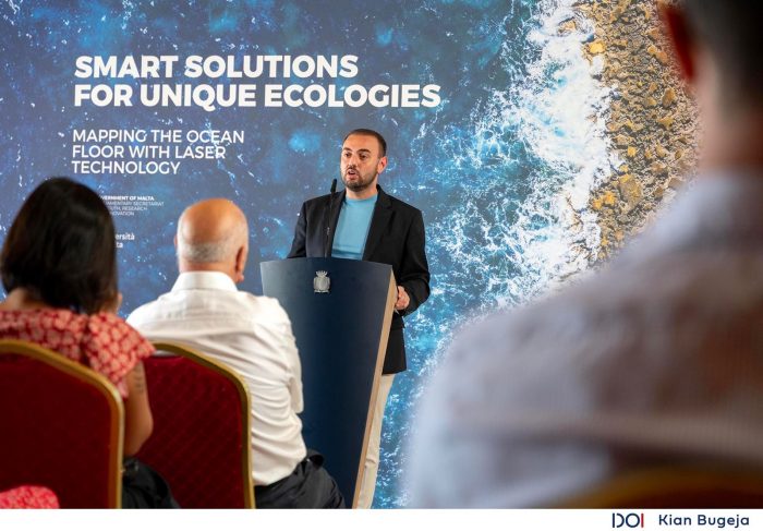
The project was launched during a news conference, by the Parliamentary Secretary for Youth, Research and Innovation Keith Azzopardi Tanti, by Professor Savior Formosa from the University of Malta, who is leading this initiative, and by the Rector of the University of Malta, Professor Alfred J. Vella.
This project will also make use of GIS technology, in order to analyze the geographical data. With this system, important designs and trends can be created in the maritime field, thus making more informed and effective decisions.
Parliamentary Secretary Keith Azzopardi Tanti said, “Through this project, which will use advanced technology, it will lead to a better understanding of our maritime environment, as well as to make informed decisions about the protection of our seas. Through collaborations of this type we can carry out projects that advance both maritime research and the protection of our environment.”
Rector Alfred J. Vella stated, “There is a linear scientific process by which the collected data is translated into information and subsequently into wisdom and action. This project is fundamental in order to make the best decisions through which accurate data is collected from the bottom of the sea. The use of a laser in bathymetric areas is crucial so that through it the data brings us close to the process that shapes the policies and guides us in the decisions we make.”
Professor Savior Formosa explained that through this project they will collect data from the air through a plane that will use LiDAR technology, up to 50 meters underwater, to help them better understand what is happening below the surface the sea and thus leads to evidence-based decisions.
![]()


 helping build much needed homes")

